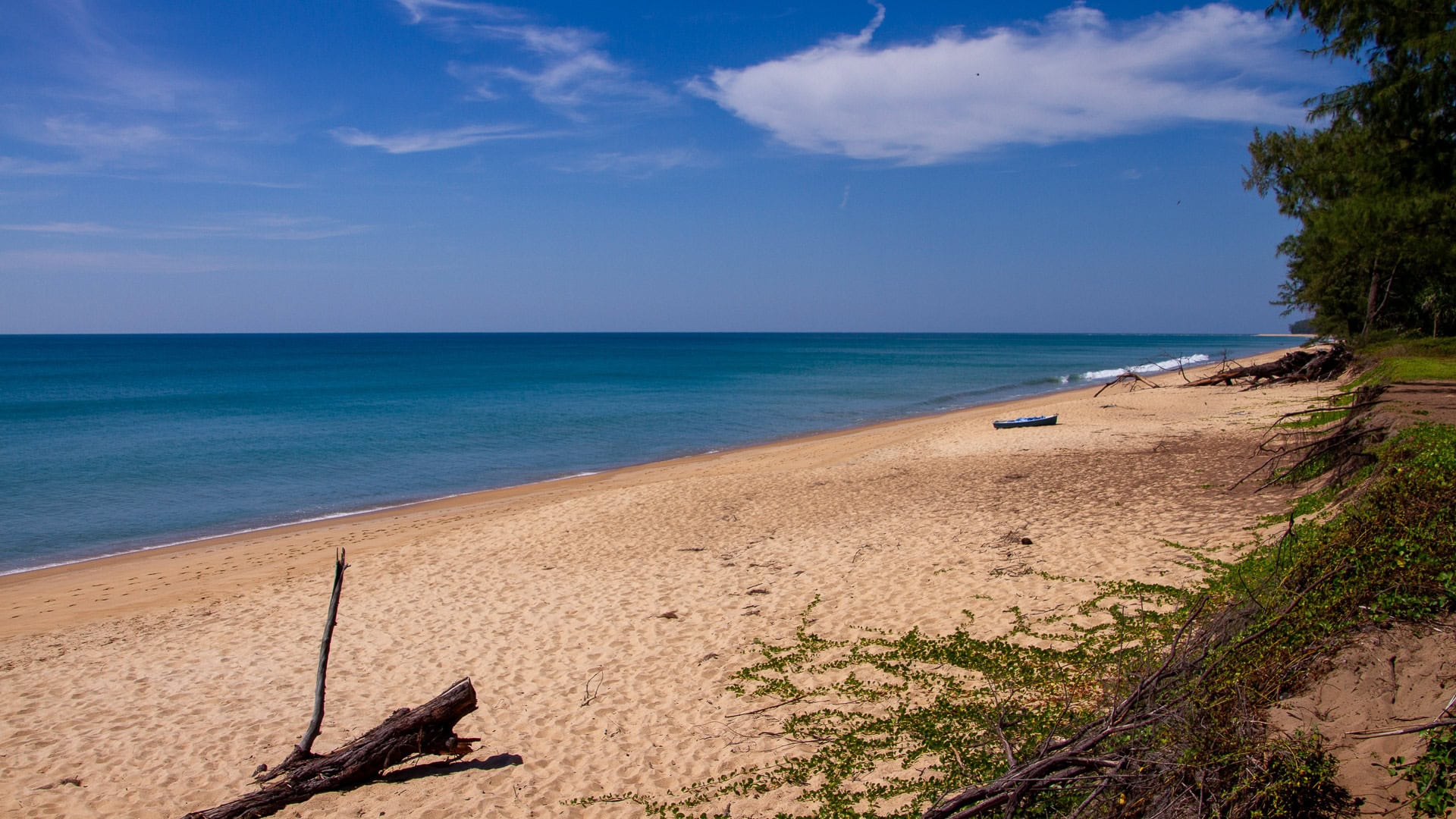
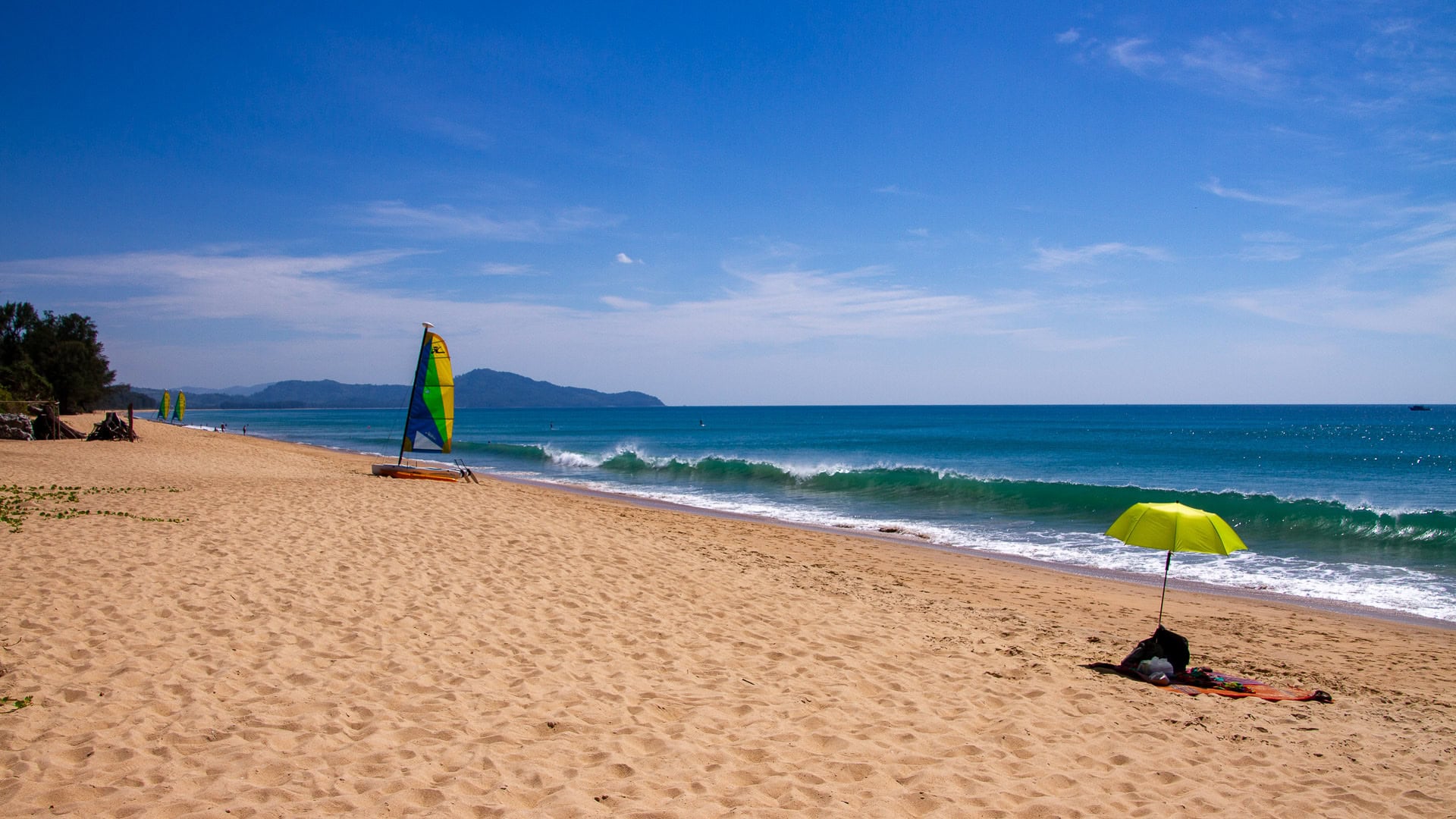
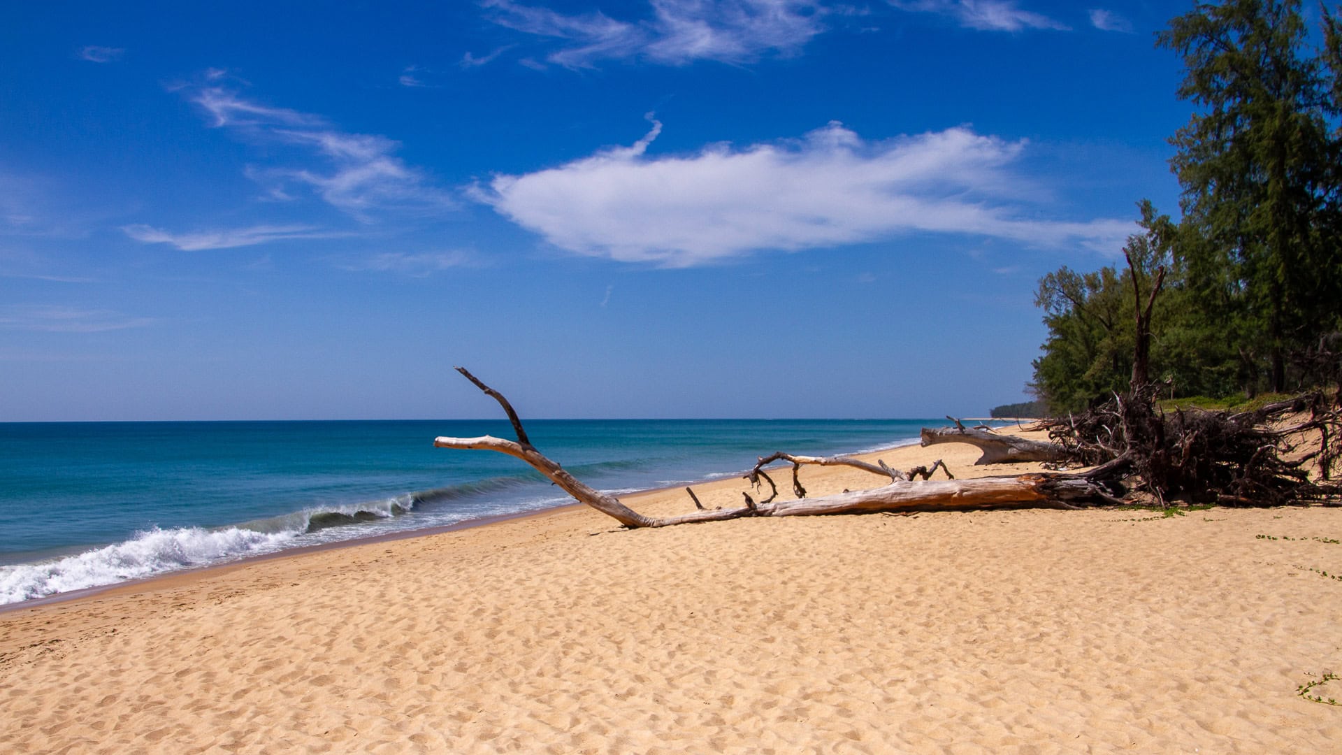
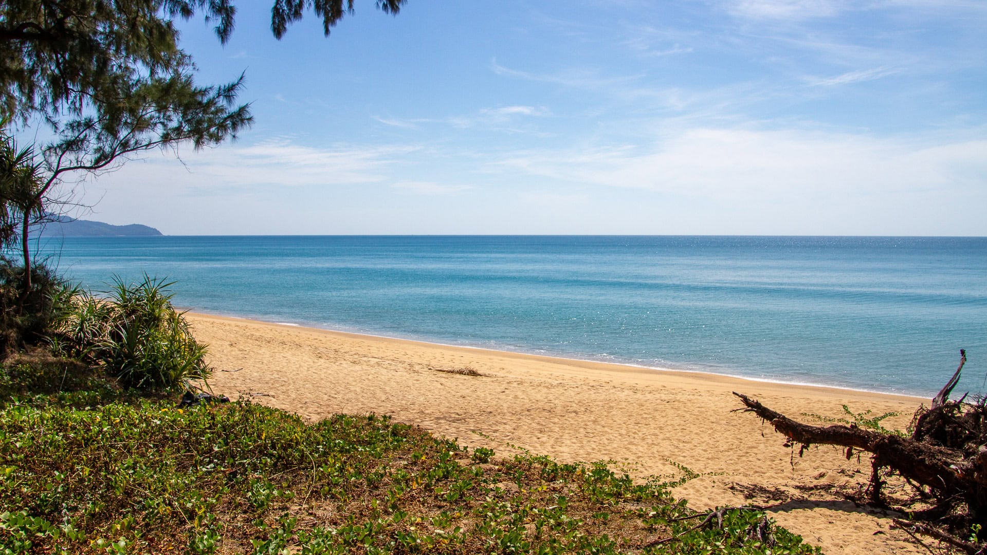
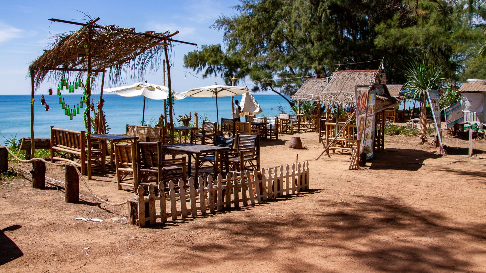
Mai Khao Beach Phuket is Phuket’s longest beach, stretching over 11 km along the northwest coast inside Sirinat National Park. It is mostly undeveloped with limited facilities and strong seasonal waves. Best for long coastal walks, nature photography, and plane spotting at the southern end. Caution required for swimming.
Mai Khao Beach Phuket
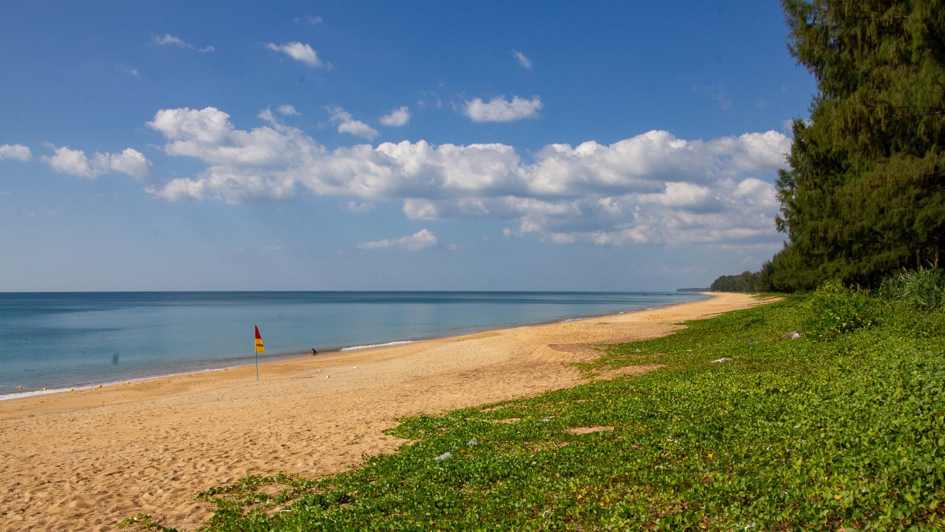
Mai Khao Beach runs along the northwest edge of Phuket in Thalang District, just north of Phuket International Airport. The shoreline remains natural, with dune-forest edges and very few commercial areas. It is one of the best places on the island to find space, quiet, and long open views of the Andaman Sea.
Overview
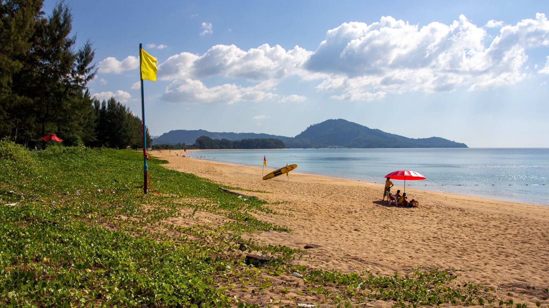
The beach forms the coastal section of Sirinat National Park. Sand is light golden and medium-grain, with a steep drop-off close to shore caused by strong underwater currents. Most visitors come for peaceful walks, low-crowd swimming during the dry season, and nature-focused time by the water. The airport approach path creates a clear visual marker at the southern end, while the northern section continues into a protected landscape toward Phang Nga.
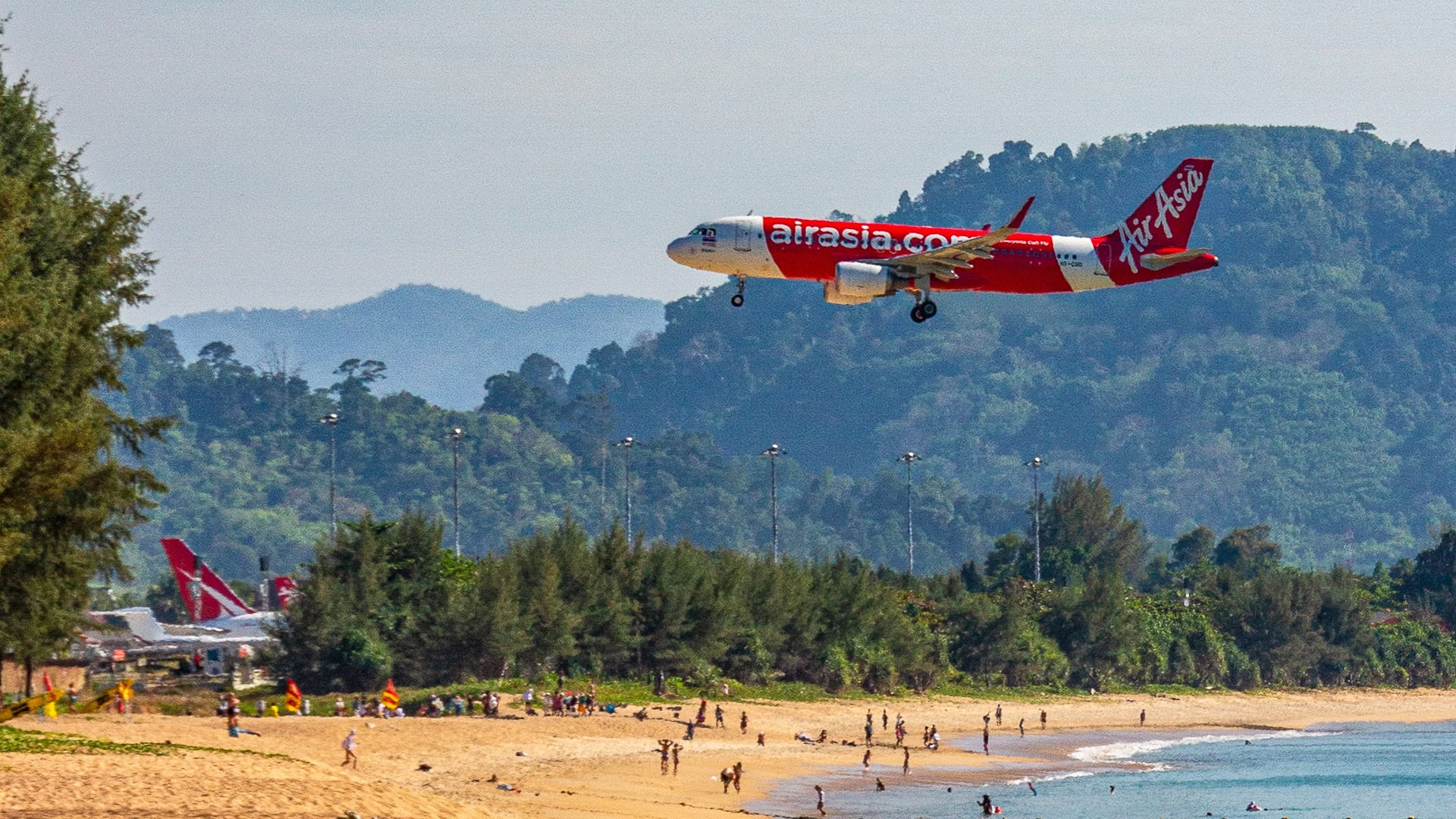
Plane Spotting Zone
Aircraft pass low over the southern part of Mai Khao during landing. The best view is on the beach directly west of the runway, a short walk south from signed access points. Activity is strongest during daylight hours December–April, with planes arriving every 10–20 minutes in peak season. Stay behind marked safety lines and follow park staff direction. No climbing or entering restricted areas near the runway fence.
Safety
Mai Khao has strong rip currents and sudden deep water. Conditions from May–October are often unsuitable for swimming. Yellow and red flags may be present, but permanent lifeguard coverage is limited. Check daily marine advisories and avoid entering the sea during rough weather or if you are not a confident ocean swimmer. Children should remain at the upper shoreline where waves break gently in dry season.
Seasonality
November–April offers calmer water, clearer visibility, and more reliable conditions for sea use. December–March is the most stable period for relaxed swimming and clear horizons. May–October brings the southwest monsoon, larger surf, wind-driven waves, and increased jellyfish presence. Walking and photography remain enjoyable year-round.
Facilities & Services
Beach facilities are minimal. Small local food stalls appear near the airport area and a few shaded seating setups may operate seasonally. Public restrooms exist near signed park access points but are limited. Resort services such as restaurants and sun loungers are restricted to hotel guests. Shops, ATMs, and cafés are available at Turtle Village, 1–2 km inland in the resort zone.
Rules & Conservation
This coastline is part of Sirinat National Park. Wildlife protection rules are actively enforced. Feeding animals, leaving litter, and lighting fires on the beach are prohibited. Sea turtle nesting occurs on quiet northern sections from November–April and areas may be fenced to protect eggs. Drones require official DNP permission and are restricted within airport airspace.
Atmosphere
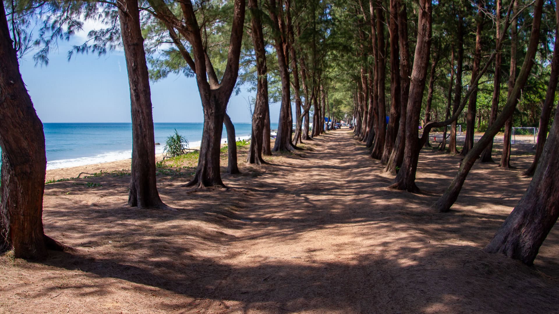
The natural coastline and deep shade under casuarina trees create a quiet, spacious environment suited to slow walking and unhurried time by the sea.
FAQ
Is Mai Khao safe for swimming?
Safe only during the dry season and in calm, flagged zones. Avoid the water during the monsoon months.
Where is the plane spotting area?
Directly west of the runway at Phuket International Airport, at the southern tip of the beach.
Are there lifeguards?
Only during high season and not along the full length of the beach. Swim cautiously.
Can I rent sunbeds?
Not on the public beach. Sunbeds are exclusive to resort guests.
Is Mai Khao good for families?
Yes for space and calm days, but parents must watch children near the water due to quick depth changes.
Are there restaurants?
A few casual vendors operate by the beach. Full dining options are available inside nearby resorts and at Turtle Village.
Nearby Beaches
Nai Yang Beach lies 3–4 km south and has calmer water close to shore, a village atmosphere, and more services.
Sai Kaeo Beach begins just north of Mai Khao and continues into a pristine protected coastline toward Phang Nga. Both are short drives and part of the same national park system.
Access
Mai Khao is best reached by car or taxi using Highway 402 and Road 4031. Parking is available at signed access areas with short sandy paths leading to the beach. The plane-spotting area provides the clearest landmark for first-time visitors. No public transport runs directly along the shoreline.
Official Information
Sirinat National Park – DNP
Marine Weather – Thai Meteorological Department
Flight Status – Airports of Thailand
Map
GPS coordinates: 8.1238° N, 98.3018° E
Last updated: 28-11-2025