
Sai Kaew Beach Phuket
Sai Kaew Beach Phuket
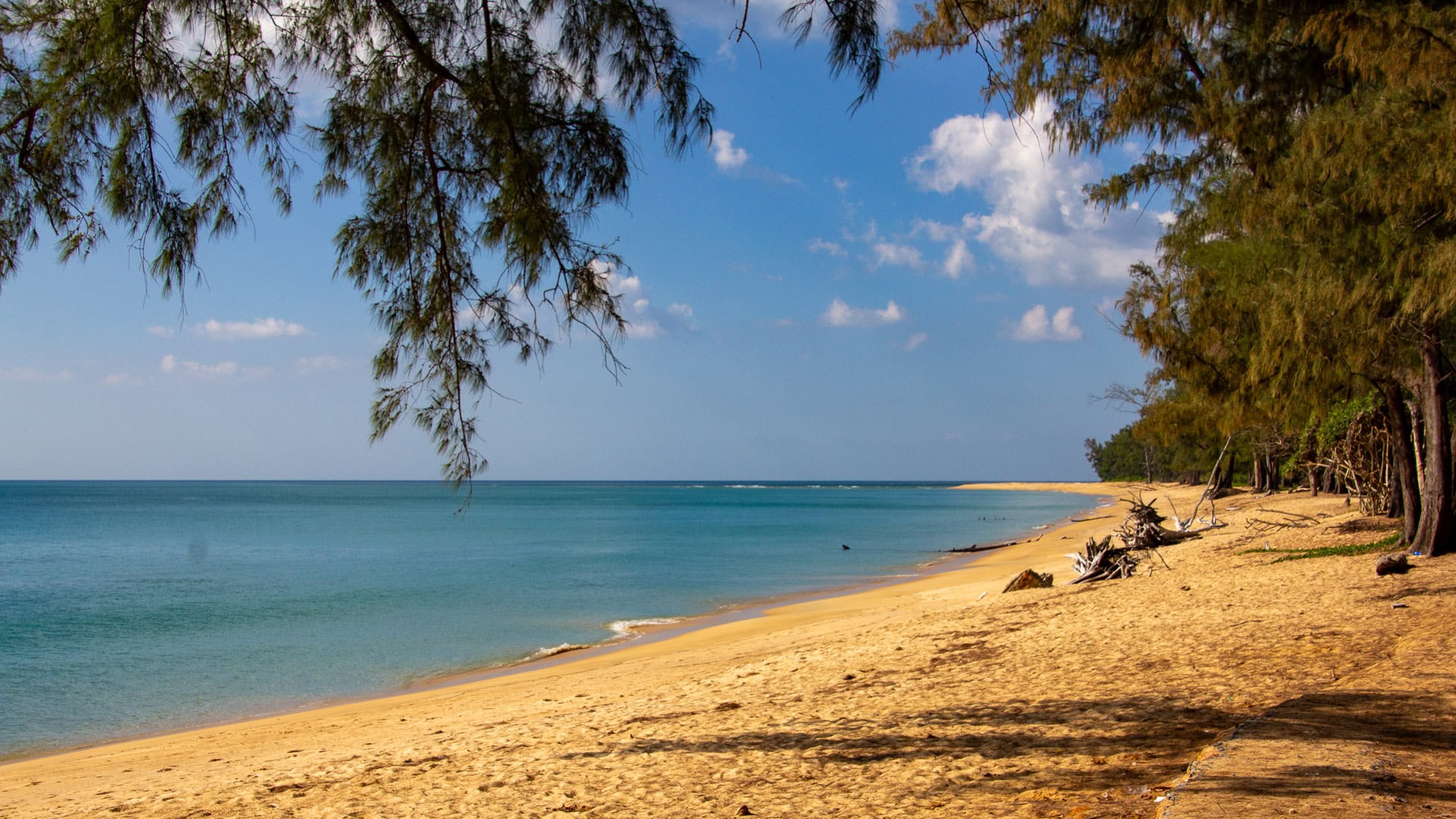
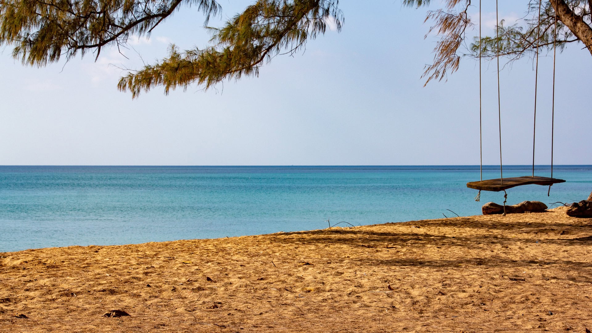
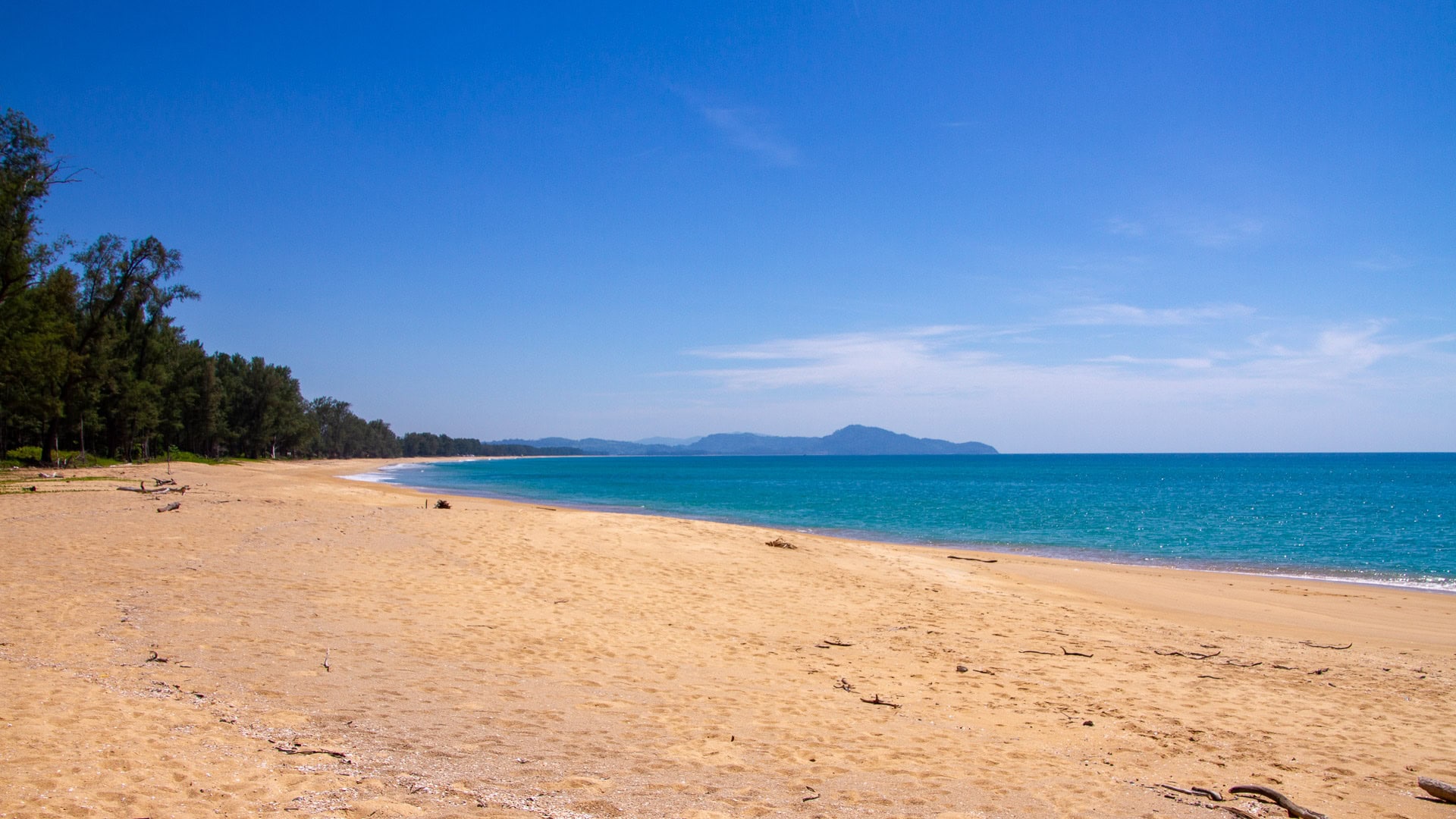
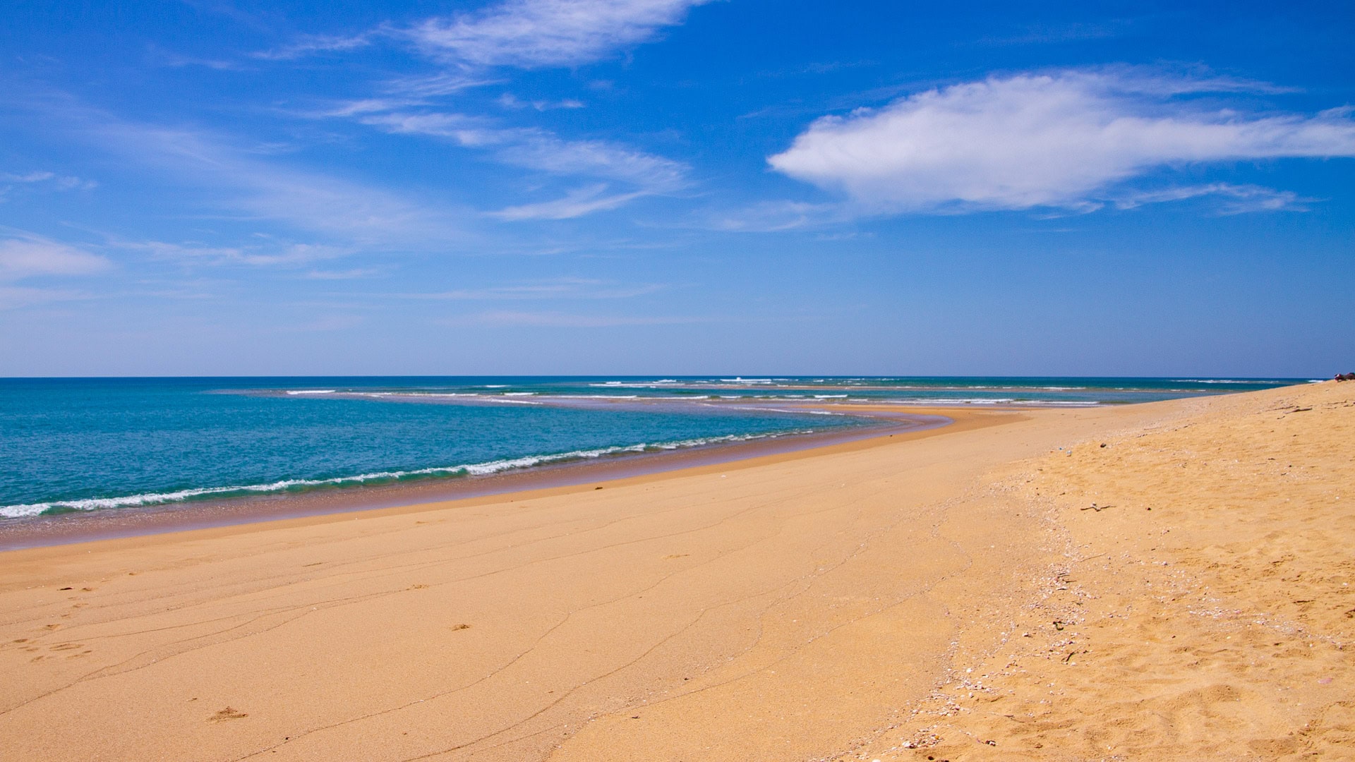
Sai Kaew Beach occupies Phuket’s northern tip in Mai Khao, directly facing the Andaman Sea and the Pak Phra Strait beneath Sarasin Bridge. The coastline forms a straight, undeveloped stretch with white coarse sand and deep water close to shore.
Overview
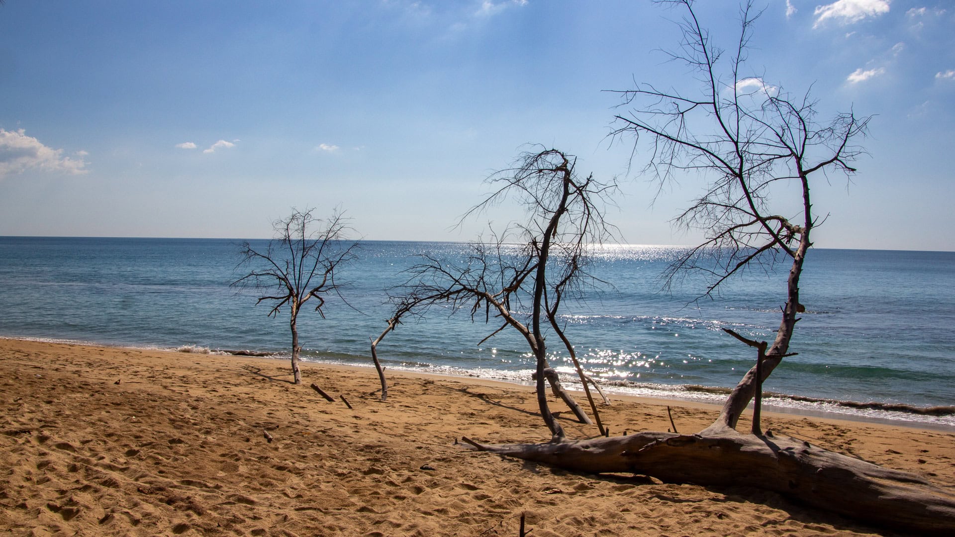
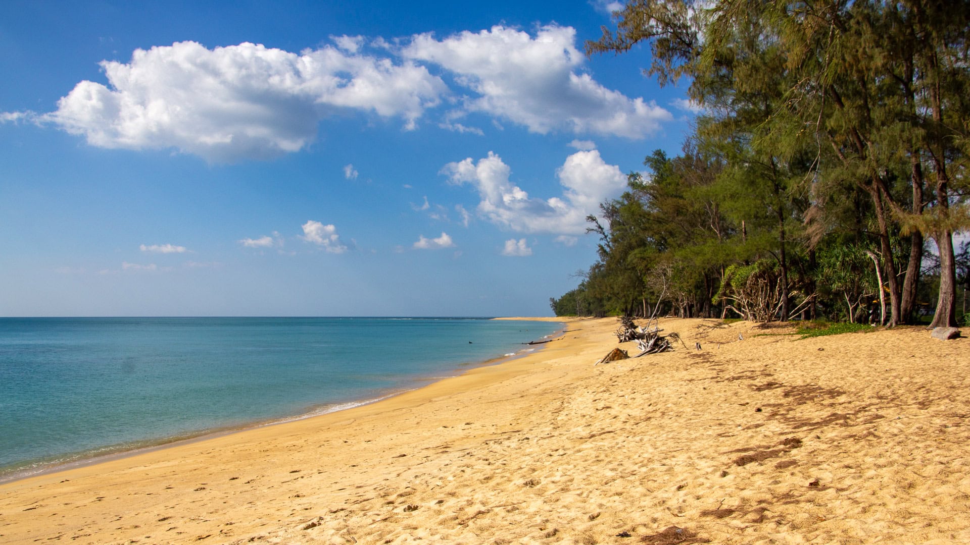
Sai Kaew Beach is a long sandy shoreline with siliceous, medium-to-coarse grains that match the Mai Khao system. The beach face is steep, producing rapid depth changes directly from the waterline. Hydrodynamics are shaped by open-ocean swell and tidal exchange through the Pak Phra Strait, creating localized strong currents near the channel.
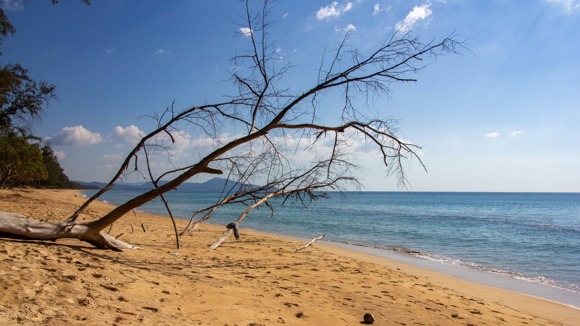
Water clarity peaks from November to April, with increased turbidity and wave energy during the southwest monsoon. Documented erosion rates average about 1.89 meters per year, although some seasonal recovery occurs. The beach lies within the ecological range of Sirinat National Park and the Leatherback turtle nesting zone.
Access
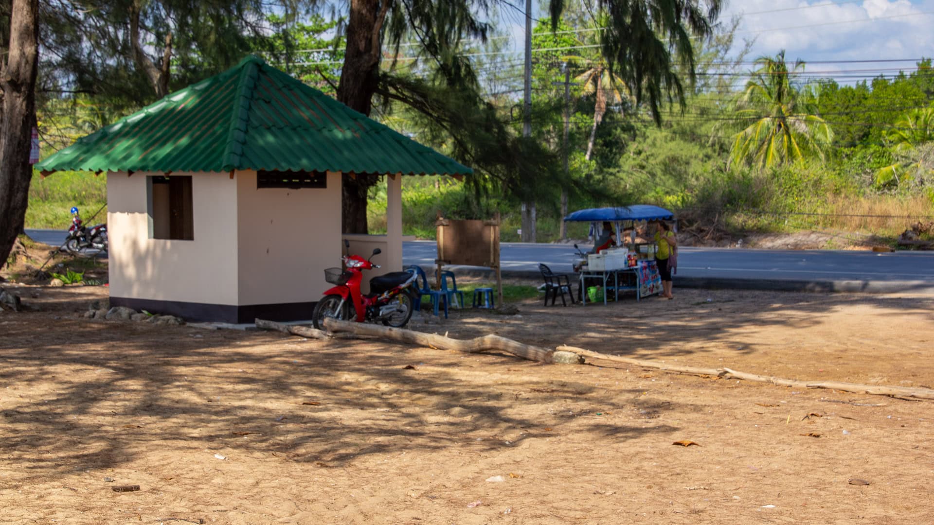
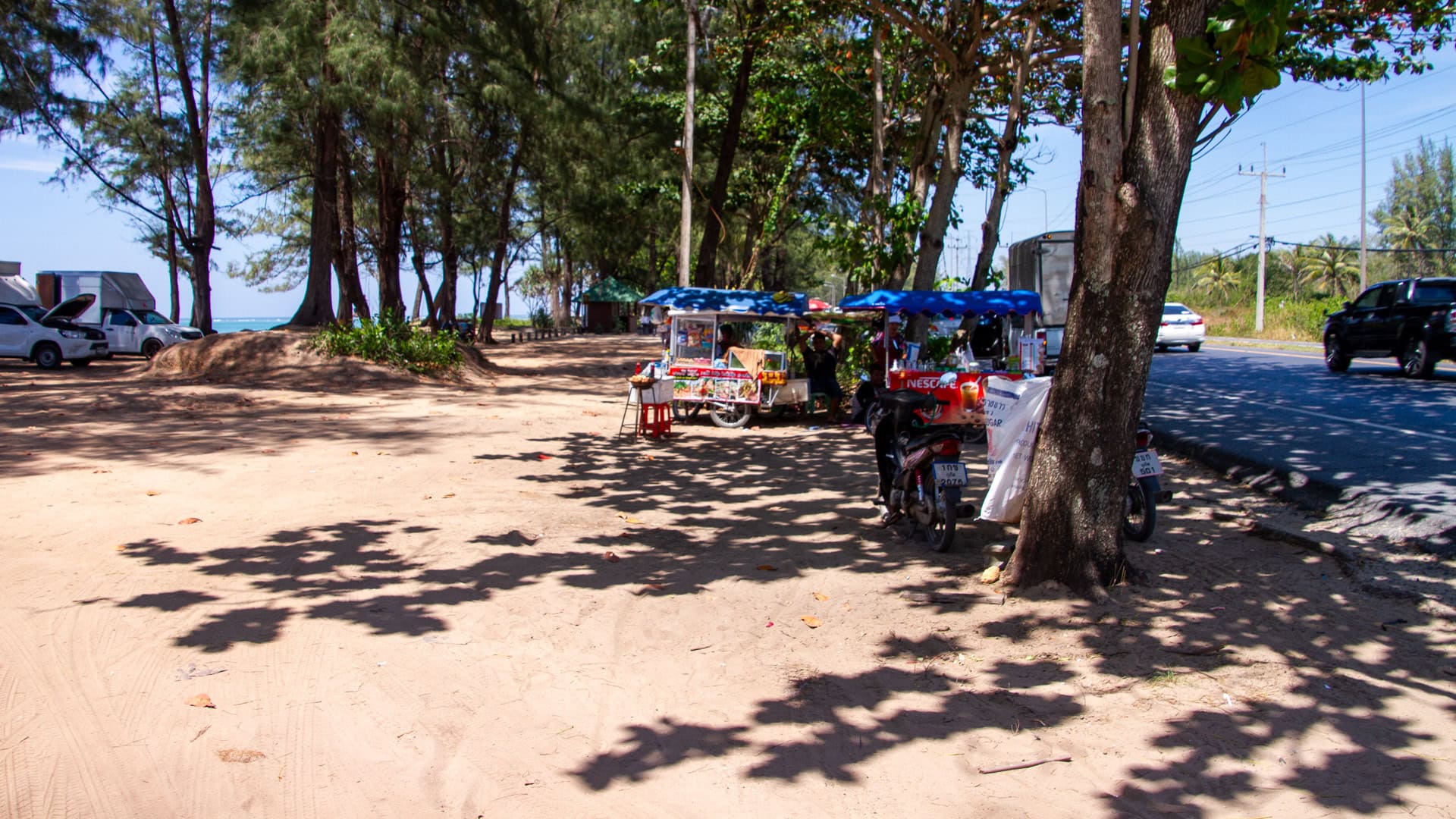
Access is from Highway 402 before crossing the Sarasin Bridge. Parking is available at Phuket Gateway and the Sarasin Bridge viewpoint. Walking conditions are flat, with paved sections near the bridge and firm sand toward the water. The area falls under Sirinat National Park and the Tha Chat Chai checkpoint zone.
Safety
The Pak Phra Strait has strong tidal currents, steep drop-offs near the channel, and boat traffic from long-tail and fishing vessels. Water clarity is low due to mangrove sediment. Swimming is unsafe. No lifeguards operate here, and monsoon-season surges further increase current strength.
Atmosphere
The beach is a working shoreline with long-tail boats, small docks, and local fishing activity. Traffic noise from the Sarasin Bridge mixes with natural sounds from the estuary. The environment reflects the functional character of northern Phuket rather than a recreational beach.
Best Time
November to April provides clearer skies and calmer winds. The west-facing orientation allows defined sunset light across the channel. Wind strength can increase near the bridge due to the strait’s funneling effect.
Nearby
Sai Kaew Beach lies south along the coast, followed by Mai Khao Beach. The Phuket Gateway, Tha Chat Chai checkpoint, and the Sarasin Bridge are immediately adjacent landmarks.
Map
GPS coordinates: 8.199931, 98.285182.
FAQ
Is it safe to swim at Sai Kaew Beach? Swimming is safest in the dry season; monsoon months bring strong rip currents, deep drop-offs, and red-flag conditions.
What are the sand and water like? The sand is white and medium-to-coarse, with steep slopes. Water is clear from November to April and more turbid in the monsoon.
How are the waves and currents? Waves are moderate to strong depending on season, with localized current strength near the Pak Phra channel.
When is the best season? November–April offers the calmest seas, best visibility, and minimal wave energy.
What landmarks define its location? Sarasin Bridge, the Pak Phra Strait, Mai Khao Beach, and the Sirinat National Park coastline.